Project 01
Client Name: Client name
Enable faster site mapping, safer monitoring, and better resource management.
Our solutions boost safety, efficiency, and decision-making in mining by providing precise site surveys and monitoring. We deliver real-time insights, early hazard detection, and support compliance while keeping personnel out of dangerous areas.
Our use of advanced sensing and monitoring in mining improves efficiency while ensuring safer and more sustainable site management.
Advanced topographic mapping and 3D modeling provide accurate, high-resolution representations of mining sites and terrain. Using aerial data and remote sensing technologies, operators can plan excavations, monitor site changes, and optimize resource management while improving safety and operational efficiency.
Our automated aerial monitoring system provides continuous, real-time data from mining sites without the need for constant manual inspections. High-resolution imagery and sensor data enable rapid detection of site changes, equipment issues, and safety hazards, supporting informed decision-making and efficient operations.
Advanced aerial and remote sensing technologies enable accurate measurement and monitoring of stockpile volumes. High-resolution 3D models and data analytics help optimize material management, track inventory, improve operational efficiency, and support planning and reporting.
AI-powered drones deliver real-time aerial monitoring using high-resolution cameras and intelligent analytics to detect safety violations, unauthorized access, and hazardous conditions before they escalate into costly incidents.
We use magnetometers and Ground Penetrating Radar (GPR) to detect and map metals, pipelines, cables, and other subsurface features. Mounted on drones, these technologies provide safe, efficient surveys in hard-to-reach or hazardous areas.
Take a closer look at how ATINUM has delivered successful projects across industries, showcasing our expertise, innovation, and measurable impact.
See all the work
Capturing high-quality geospatial data for a wide range of applications.
More Details
Real-time insights, high-resolution data, and predictive analytics that empower your team to minimize risk, and make faster, smarter decisions
More Details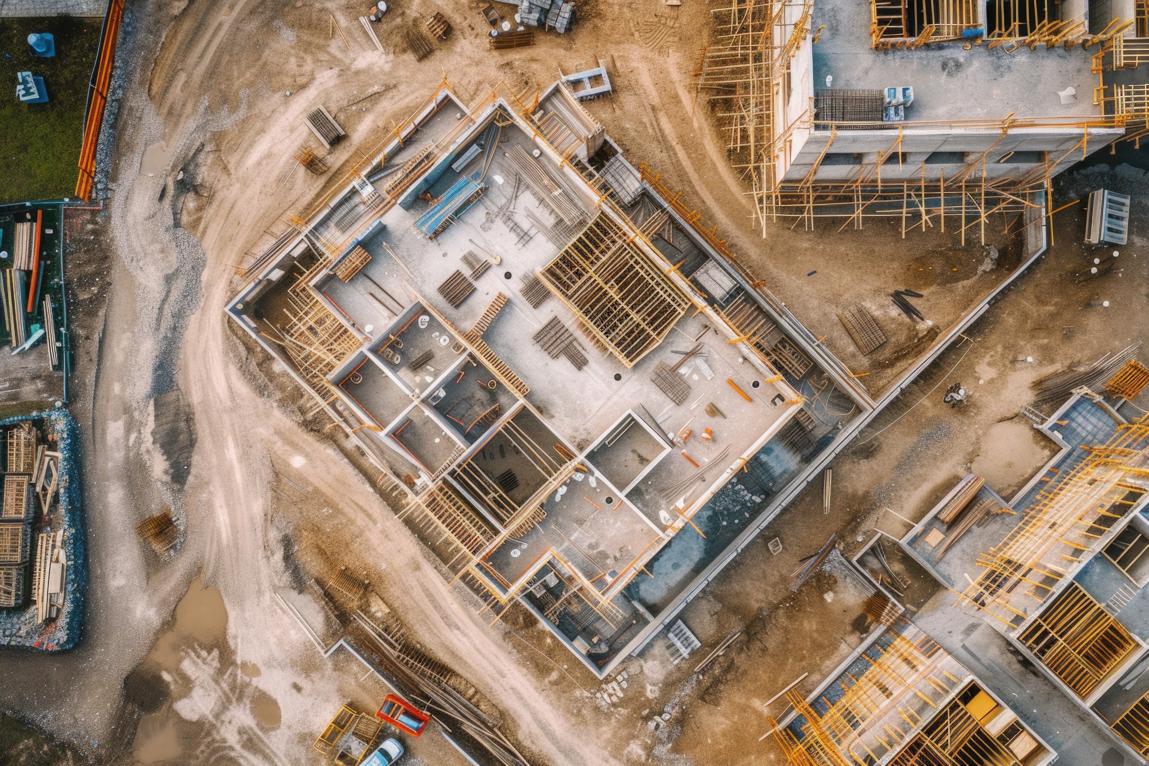
Detecting safety violations, unauthorized access, and hazardous conditions before they become costly incidents.
More Details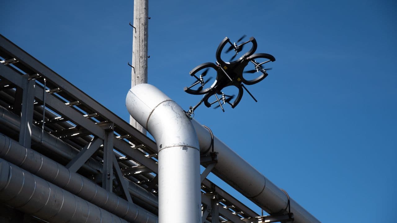
Whether it's for preventive maintenance or damage assessment, our solutions deliver accurate, actionable insights with minimal disruption to your operations
More Details