
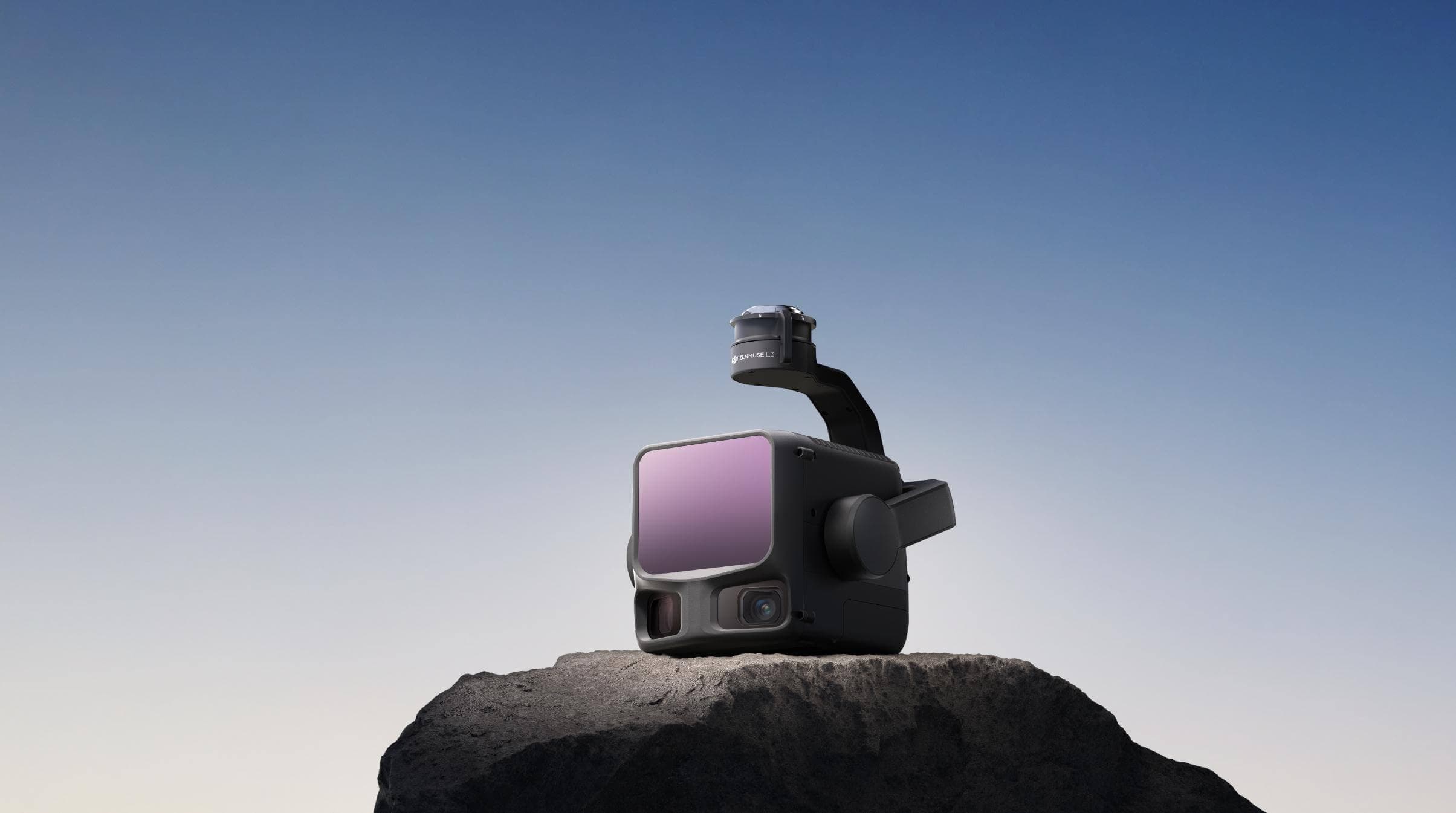
DJI Zenmuse L3
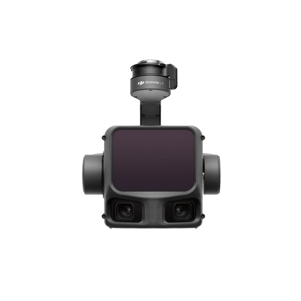
DJI's next-generation high-accuracy aerial LiDAR system features a long-range LiDAR capable of reaching up to 950 m even on objects with just 10% reflectivity. Dual 100MP RGB mapping cameras and a high-precision POS system accelerate geospatial data acquisition, enabling daily coverage of up to 100 km².
Capture high-precision geospatial data faster with long-range LiDAR, dual high-resolution mapping cameras, and a precise positioning system built for large-area coverage.
Benefits
Delivers up to 950 m detection range at 100 kHz (100 klx light, 10% reflectivity targets), with an adjustable pulse rate for flexible power output. Supports typical flight altitudes of 300–500 m to increase coverage and mapping efficiency.
Equipped with dual 100MP 4/3 CMOS RGB sensors and a mechanical shutter, Zenmuse L3 delivers significantly enhanced accuracy and efficiency. Pixel binning supports an effective 25MP resolution with larger pixel size, producing superior color reproduction even under poor lighting conditions.
Zenmuse L3 significantly improves point cloud and RGB accuracy while boosting efficiency. When paired with DJI Matrice 400, a single flight can cover up to 10 km², enabling up to 100 km² of high-accuracy mapping per day, delivering large-area results through a seamless workflow.
With a smaller laser spot and higher single-pulse energy, Zenmuse L3 offers superior penetration capability. In terrain mapping and similar applications, it captures more ground points with greater completeness, significantly improving the accuracy and integrity of terrain data for precise surface fitting and reconstruction.
DJI's First Long-Range, High-Accuracy Aerial LiDAR System
See Through, Far and True
Zenmuse L3