Aramco Offshore Project
Client Name: Saudi Aramco
Provide safer underwater inspections of hulls, ports, submerged structures, and marine assets using ROV technology with precise digital documentation.
ATINUM utilizes advanced drone technology to transform maritime inspections. Our services offer high-resolution aerial imagery and real-time data collection, allowing for thorough assessments of vessels and port infrastructure without the risks associated with traditional inspection methods. By minimizing downtime and ensuring compliance with safety regulations, we empower maritime operators to maintain optimal performance and reduce operational costs. Trust ATINUM to provide safe, efficient, and cost-effective solutions for your maritime inspection needs.
Our aerial and underwater inspection technologies support safer maritime operations, improved asset monitoring, and efficient maintenance planning for vessels, ports, and marine infrastructure.
Monitoring for gas ignition hazards, conducting search and rescue missions, and delivering real-time aerial intelligence to support decision-making, enhance crew safety, and optimize response time in critical situations.
Drone-based monitoring supports site safety and surveillance across ports, terminals, and maritime facilities. High-resolution aerial imagery and compatible analytics help monitor restricted areas, identify potential hazards, and improve operational awareness.
ATINUM uses underwater remotely operated vehicles (ROVs) for visual inspection and ultrasonic thickness (UT) measurements of accessible submerged structures, vessel hulls, pipelines, and marine assets. These inspections help identify visible defects, corrosion, and wall-thickness loss, providing documented findings to support asset condition assessment and maintenance planning while reducing the need for diver intervention.
Take a closer look at how ATINUM has delivered successful projects across industries, showcasing our expertise, innovation, and measurable impact.
See all the workClient Name: Saudi Aramco
Capturing high-quality geospatial data for a wide range of applications.
More Details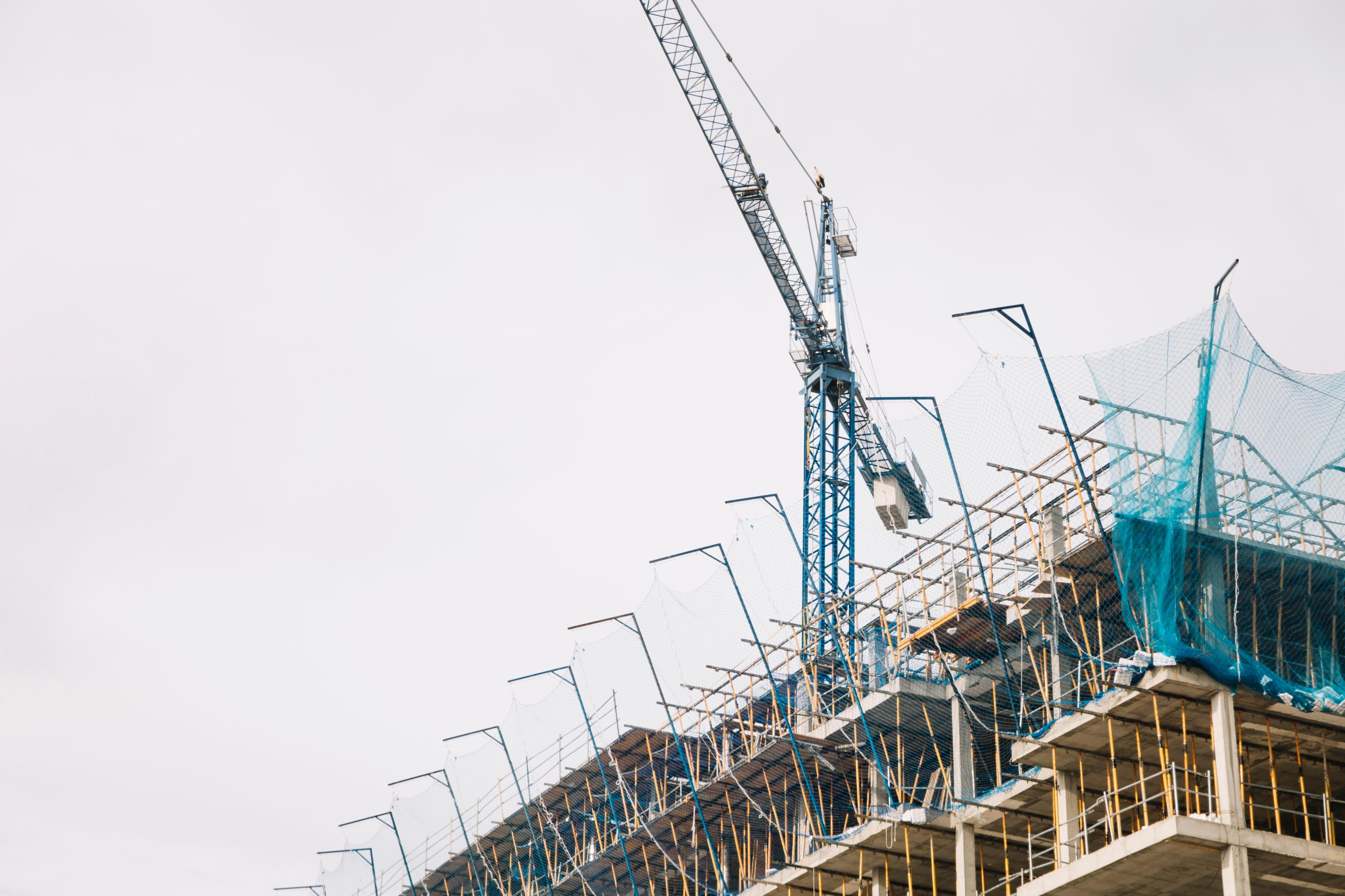
High-resolution data and actionable insights that help your team minimize risks and make faster, more informed decisions.
More Details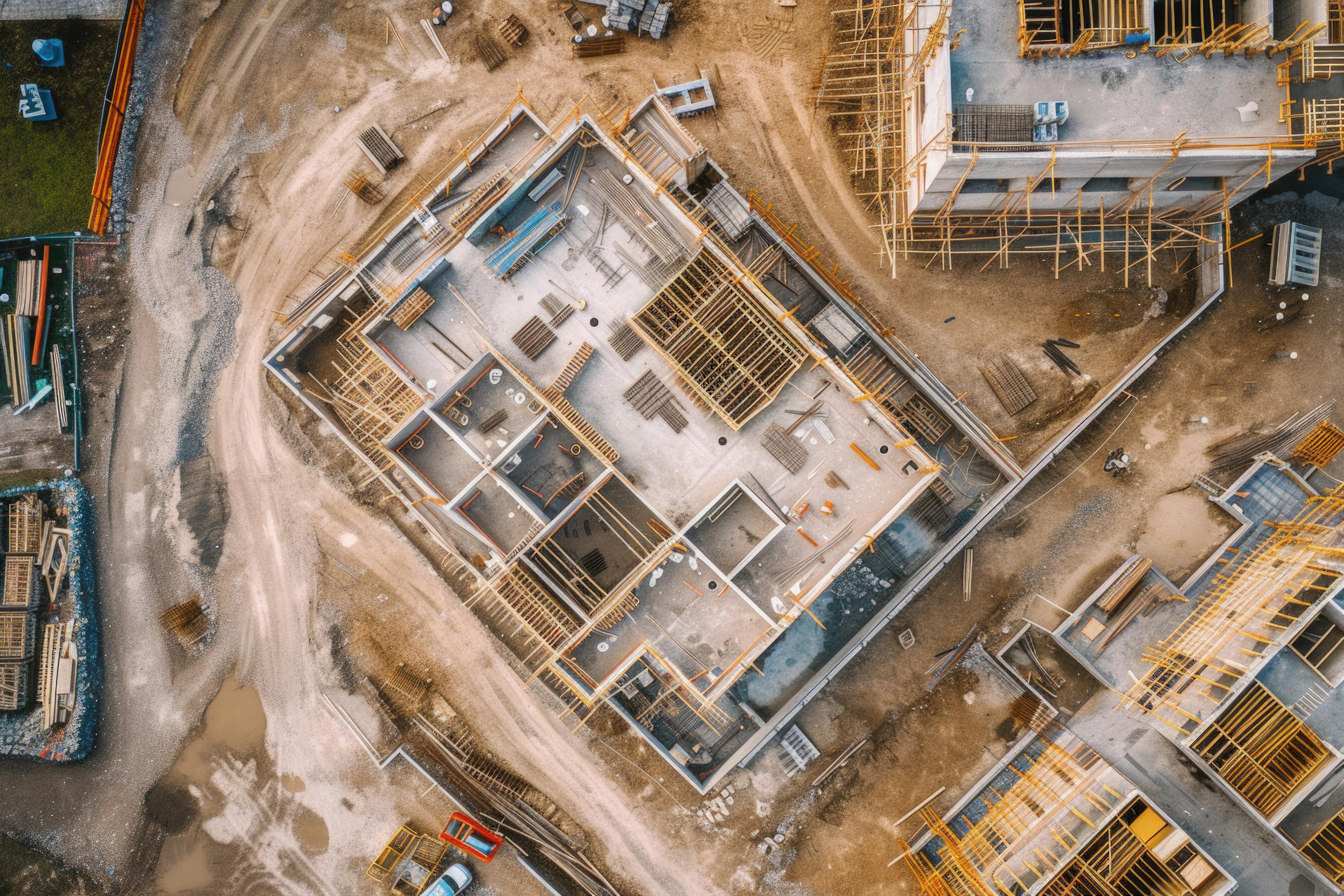
Detecting safety violations, unauthorized access, and hazardous conditions to help prevent incidents.
More Details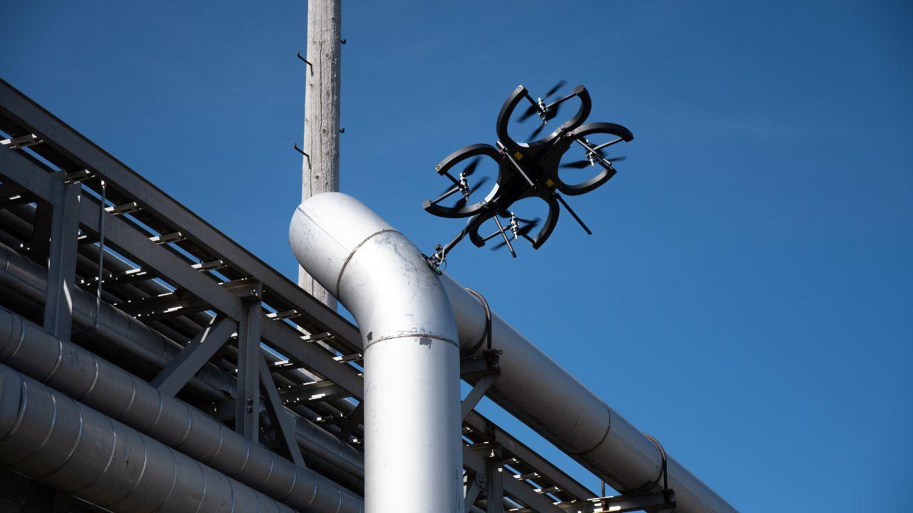
Whether for preventive maintenance or damage assessment, our aerial, confined-space, and underwater robotic inspection solutions provide actionable insights while minimizing operational disruption.
More Details