DJI Terra
FlytBase is an enterprise-grade, secure, reliable & scalable software platform designed for system integrators to fully automate docked drone operations for enterprise use-cases like security, inspections, or emergency response.
The platform integrates various components of the drone ecosystem, including hardware, BVLOS capabilities, data security, flight safety and fleet management to automate workflows.
Benefits
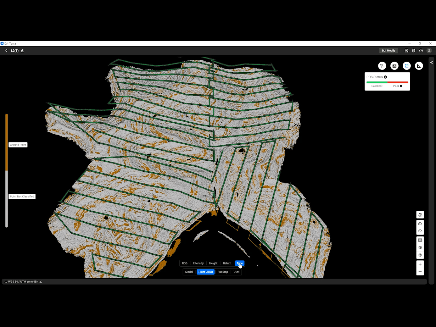
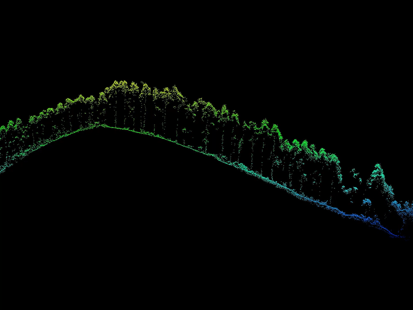
Leveraging advanced positioning technologies such as RTK and PPK, Terra processes point cloud data from the Zenmuse LiDAR to achieve survey-grade, centimeter-level accuracy without the need for ground control points. This ensures reliable data support for high-standard mapping and engineering monitoring applications.
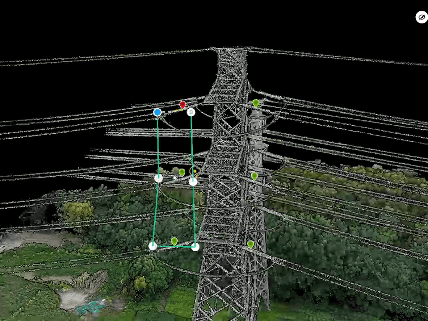
Terra automatically creates inspection flight routes from selected points in a 3D model/point cloud, showing a simulated camera view for precise waypoint planning, and now supports Matrice 4T and Matrice 4TD for advanced inspections across more industries.
Terra can efficiently process large LiDAR point cloud datasets (about 1 GB per 1 GB RAM), allowing a 32 GB workstation to handle up to 120 GB of data (around 10 km²), with support for 128 GB RAM setups for city-scale projects.
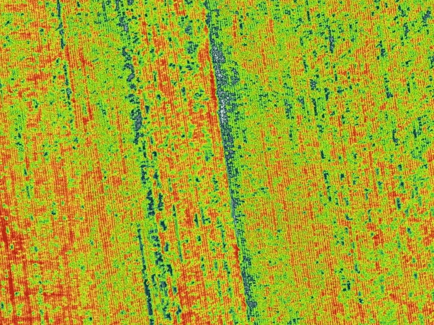
Terra uses multispectral data from DJI Mavic 3 Multispectral and Phantom 4 Multispectral to generate NDVI/NDRE vegetation maps, supporting radiometric correction and reflectance mapping for accurate plant health analysis and remote sensing research.
Images